 11
11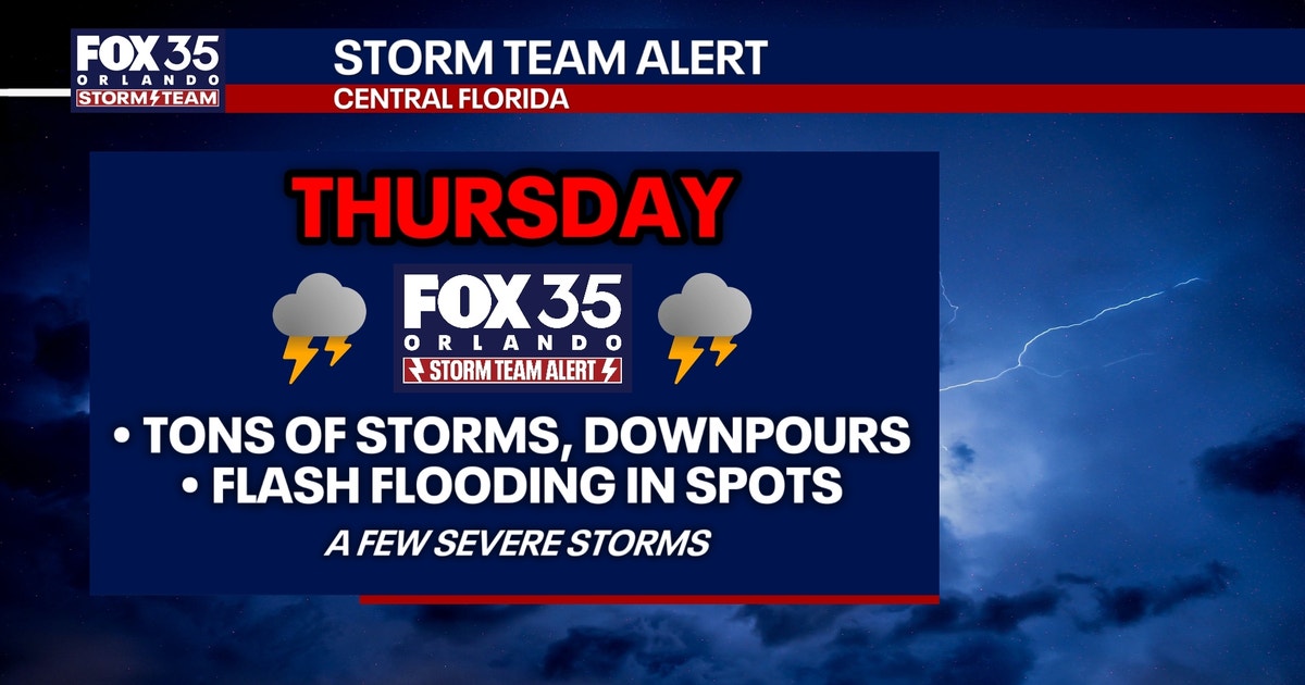
ORLANDO, Fla. — Grab your umbrella and maybe a rain jacket! Central Florida is in for a wet, stormy stretch through the weekend. The FOX 35 Storm Team is tracking daily rounds of showers and thunderstorms that could bring heavy downpours, gusty winds, frequent lightning, and a real risk of flash flooding.
Here’s everything you need to know — explained simply — so you can plan your week and stay safe.
Think of the atmosphere over Central Florida like a giant, wet sponge. Right now, that sponge is getting squeezed repeatedly. Each day through Sunday, waves of rain and storms will move through. It won’t rain all day, every day everywhere — but where it does rain, it will pour hard and fast.
KEY TAKEAWAY: Flash flooding is the biggest concern. The National Weather Service has issued a flood risk through Saturday. Some areas could see 2 to 4 inches of rain total over the next 7 days — and a lot of that could fall in a very short time.
| Factor | What It Means for You |
|---|---|
| 2–4 inches of rain in 7 days | That’s a lot of water in a short time — like dumping several buckets on your yard in minutes. |
| Ground already wet | Soil can’t absorb much more → water runs off fast → flash floods. |
| Urban areas & low spots | Roads, parking lots, and ditches fill up quickly. |
| NWS Flood Risk through Saturday | Official alert: Take this seriously. |
IMPORTANT: NEVER DRIVE THROUGH FLOODED ROADS.
Just 6 inches of moving water can knock you down. 12 inches can float a car. Turn Around, Don’t Drown.
It’s the “feels like” temperature — what your body actually feels when you combine heat + humidity.
High humidity = sweat can’t evaporate = your body can’t cool down = dangerous.
| Time Period | Heat Index | What It Means |
|---|---|---|
| Normal summer | 100–104°F | Typical Florida steamy. |
| Wednesday (just passed) | Above 110°F | Rare — only a handful of days like this all summer. |
| This weekend (with clouds/rain) | Mostly 90s | Relief! Clouds block sun; rain cools the air. |
| Early next week | Back above 100°F | Heat returns as storms taper off. |
Good news: The storms are giving us a natural air conditioner for a few days. Enjoy the break — but stay ready for the heat to come back.
Pro tip: “Quiet” doesn’t mean “safe.” It just means right now — not forever.
CALLOUT: MOST IMPORTANT THINGS TO REMEMBER
- Flash flooding is the #1 danger — not wind, not lightning (though those are real too).
- Morning commutes Thursday & Friday are highest impact.
- Heat relief is temporary — don’t let your guard down on hydration.
- Tropics are quiet NOW — but season isn’t over.
- Source: All info from the FOX 35 Storm Team — your local weather experts.
Central Florida is in a stormy, wet pattern through the weekend. Expect daily downpours, especially Thursday and Friday mornings, with a real risk of flash flooding (2–4 inches possible). The National Weather Service has a flood risk in effect through Saturday.
The upside? Clouds and rain are dropping heat index values into the 90s — a nice break from the 110°F+ we just had. But heat returns above 100°F by early next week.
Tropics are quiet for now — but stay hurricane-ready all season.
No. It’ll be rounds of storms — some morning, some afternoon. You’ll have dry breaks. But when it rains, it pours.
Flash flooding is hyper-local. Low spots, poor drainage, and urban areas flood first. Watch for warnings on your phone and avoid known flood-prone roads.
Only if you can get indoors quickly. Lightning kills. If you hear thunder, you’re close enough to be struck. When thunder roars, go indoors.
Humidity! At 92°F with high humidity, your body feels like it’s 105°F+ because sweat won’t evaporate. That’s the heat index — and it’s what causes heat illness.
Have a backup plan. Afternoon/evening storms are likely. Mornings may be better. Watch radar, stay flexible, and never ignore a warning.
Stay safe, stay dry, and keep checking in with the FOX 35 Storm Team!