 11
11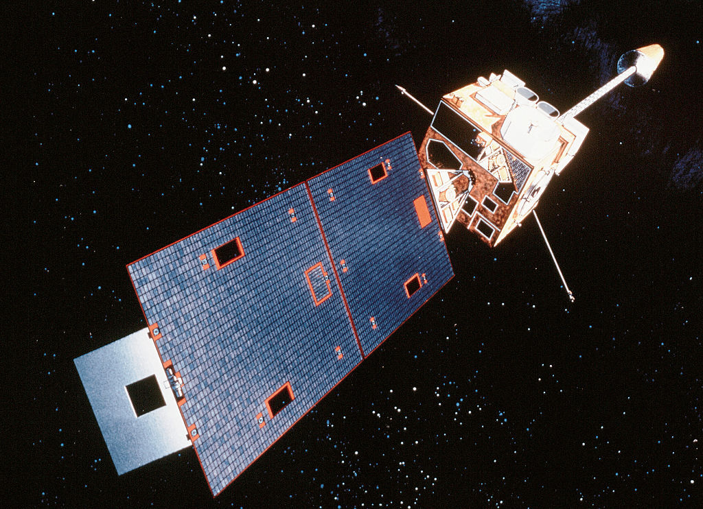
A key weather satellite run by NOAA (that’s the National Oceanic and Atmospheric Administration — the U.S. agency that watches the weather and oceans) had a problem on Thursday. It stopped working for almost the whole day. But good news: it is back online now!
This satellite keeps an eye on the eastern United States and the Atlantic Ocean. When it went quiet, it reminded weather scientists just how much we depend on satellites to tell us what the sky is doing.
The satellite that had the hiccup is called GOES-19, also known as GOES East.
Important Point: When GOES-19 stopped sending data, forecasters lost a key tool to see fast-changing weather. As one scientist said, “Once the images are off, they’re off. You can’t see anything in it.”
The satellite went into something called safe hold mode. Think of it like a nap mode for survival.
Lars Peter Riishojgaard, a atmospheric scientist (someone who studies the air and weather) at the University of Maryland, explained it simply:
So the satellite turned off its camera and other extras to protect itself until humans could fix the issue.
WTOP Meteorologist (weather expert) Mike Stinneford said the loss of GOES-19 data had immediate local impacts.
Both Stinneford and Riishojgaard said the D.C. area was lucky: the outage happened during a calm weather stretch. Places with heavy rain or severe storms could have had it worse.
Even though the outage was scary, it showed a strength of the weather satellite network.
Important Point: The outage proved both how important weather satellites are AND that the system has built-in redundancy (fancy word for “spare parts/backups”) to keep us safe.
Riishojgaard also said it shows how much modern forecasting relies on satellite pictures: “We are completely relying on these images.”
Right now, nobody knows exactly what made the satellite go into protective mode. It remains a mystery!
A key NOAA weather satellite called GOES-19 (GOES East) went into safe hold mode on Thursday and stopped sending pictures of the eastern U.S. and Atlantic for nearly a day. This “survival mode” turned off its Earth-watching tools, leaving forecasters temporarily flying blind and affecting local heat forecasts. Luckily, it came back in under 24 hours, backup satellites exist just in case, and the weather was calm enough that no big problems happened. The cause is still unknown, but the event reminds us how much we count on space cameras for daily weather news.
Q1: What is GOES-19?
GOES-19, also called GOES East, is a NOAA satellite that constantly watches the eastern U.S. and Atlantic Ocean. It sends a new image every 10 minutes to help track storms, smoke, and moisture.
Q2: Why did the satellite stop working?
It entered “safe hold mode,” a survival setting satellites use when something unexpected happens. In this mode, it turns off everything not needed to stay alive. The exact cause is still unclear.
Q3: Did the outage cause dangerous forecasting errors?
Not in the D.C. area, because the weather was quiet. But forecasters lost moisture-tracking help, which contributed to a heat advisory being expanded. Areas with active storms could have been hurt more.
Q4: What happens if a satellite can’t be fixed quickly?
NOAA has backup satellites that can be switched on to take over the job so weather watching doesn’t stop.
Q5: How long was GOES-19 offline?
It was out for nearly the entire day on Thursday and was back online in less than 24 hours.