 11
11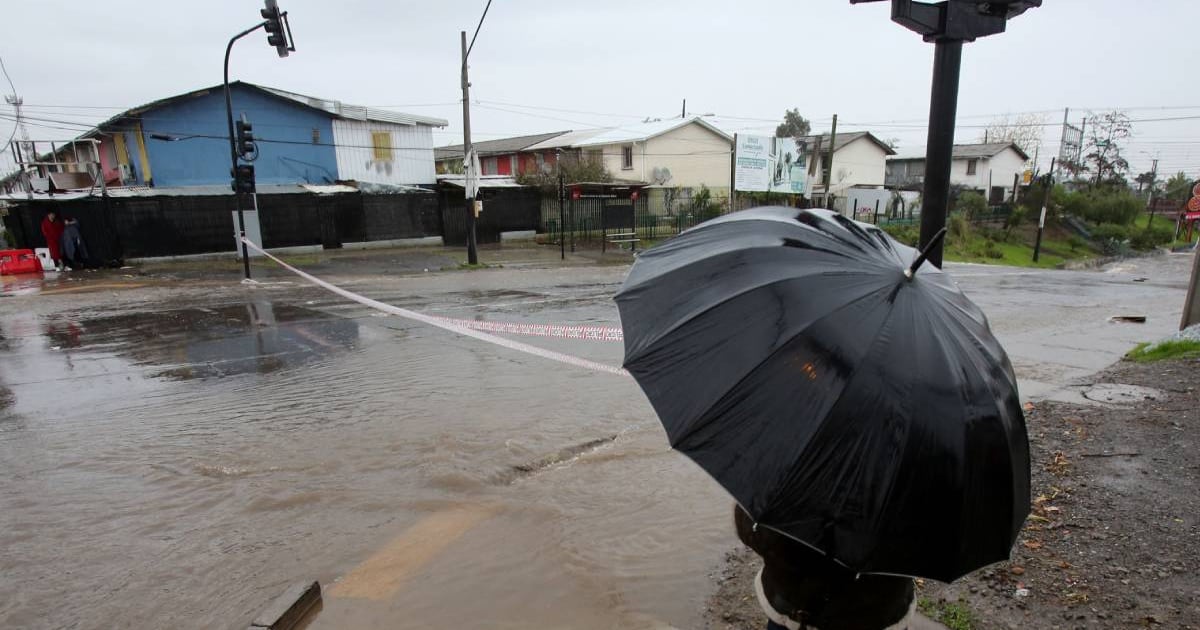
TL;DR: A powerful "atmospheric river" (think: a fire hose of water in the sky) is hitting Chile from north to south this week. The worst day is Friday, July 31. Some areas could get over 100mm of rain—that’s like dumping a bathtub of water on every square meter! Santiago gets a moderate soak (~21mm), and a second storm follows right behind over the weekend.
Imagine a giant, invisible river floating in the sky. Instead of liquid water you can see, it carries massive amounts of water vapor (invisible gas). When this sky-river hits land—especially mountains—it gets squeezed like a wet sponge, dumping tons of rain in a short time.
Key Fact: This isn’t just a regular rainy day. It’s a "Category 4-5" atmospheric river on a 1-5 scale. Think of it like a hurricane’s rain—without the hurricane winds.
| Day | What Happens |
|---|---|
| Wednesday | Rain starts in the south/center-south |
| Thursday | Rain continues, spreading north |
| FRIDAY, JULY 31 (PEAK DAY) | Heaviest rain everywhere — all at once in ~12 hours |
| Saturday (early) | First storm fades |
| Saturday (late) → Sunday | Second storm arrives in central Chile |
Regions: Maule, Ñuble, Biobío, La Araucanía (interior sectors)
Region: Coquimbo (especially Combarbalá)
Regions: Antofagasta → Aysén (plus drizzle in Tarapacá)
Region: Metropolitana (Santiago)
IMPORTANT CALLOUT:
The Friday "Compression" Effect
In Coquimbo and central-north zones, ALL the rain falls in ~12 hours.
→ That’s like a month of rain in half a day.
→ Flash floods can happen fast.
→ Stay off roads if possible Friday.
→ Check drains/gutters now.
Don’t relax yet!
A second frontal system arrives Saturday and hits central Chile by Sunday.
It may be weaker, but on already soaked ground, even moderate rain causes problems.
| Key Takeaways |
|---|
| Peak danger: Friday, July 31 — nationwide heavy rain in ~12 hrs |
| Highest totals: Maule → La Araucanía interiors (>100mm) |
| Coquimbo: Severe impact — not beneficial, ground saturated |
| Santiago: Normal winter rain (~21mm) — manageable |
| Second storm Sunday — stay alert through weekend |
| Main risks: Flash floods, landslides, wind damage, coastal surges |
Single storms aren’t "caused" by climate change, but warmer oceans = more evaporation = stronger atmospheric rivers. Scientists expect these "sky rivers" to get wetter and more intense over time.
Only if authorities say so. If you live near a river, in a low area, or on a hillside with landslide history — have a plan ready. Listen to ONEMI/Sernageomin alerts.
Avoid it if possible. If you must:
Heavy rain can make river water muddy → treatment plants may struggle. Fill bottles/jugs today just in case.
| Normal Front | This Atmospheric River |
|---|---|
| 5-20 mm over 1-2 days | 45-100+ mm in 12 hours |
| Steady, soaking rain | Intense, tropical downpours |
| Ground absorbs most | Ground saturates fast → runoff |
| Low wind | Strong gusts + storm surge |
Chile knows winter storms. But this one packs a double punch:
- Extreme intensity (atmospheric river)
- Bad timing (ground already wet + second storm Sunday)
Stay informed. Stay dry. Look out for neighbors.
Sources: Alejandro Sepúlveda & Jaime Leyton (Megatiempo), ONEMI, Dirección Meteorológica de Chile. Article based on forecast data from July 2020.