 11
11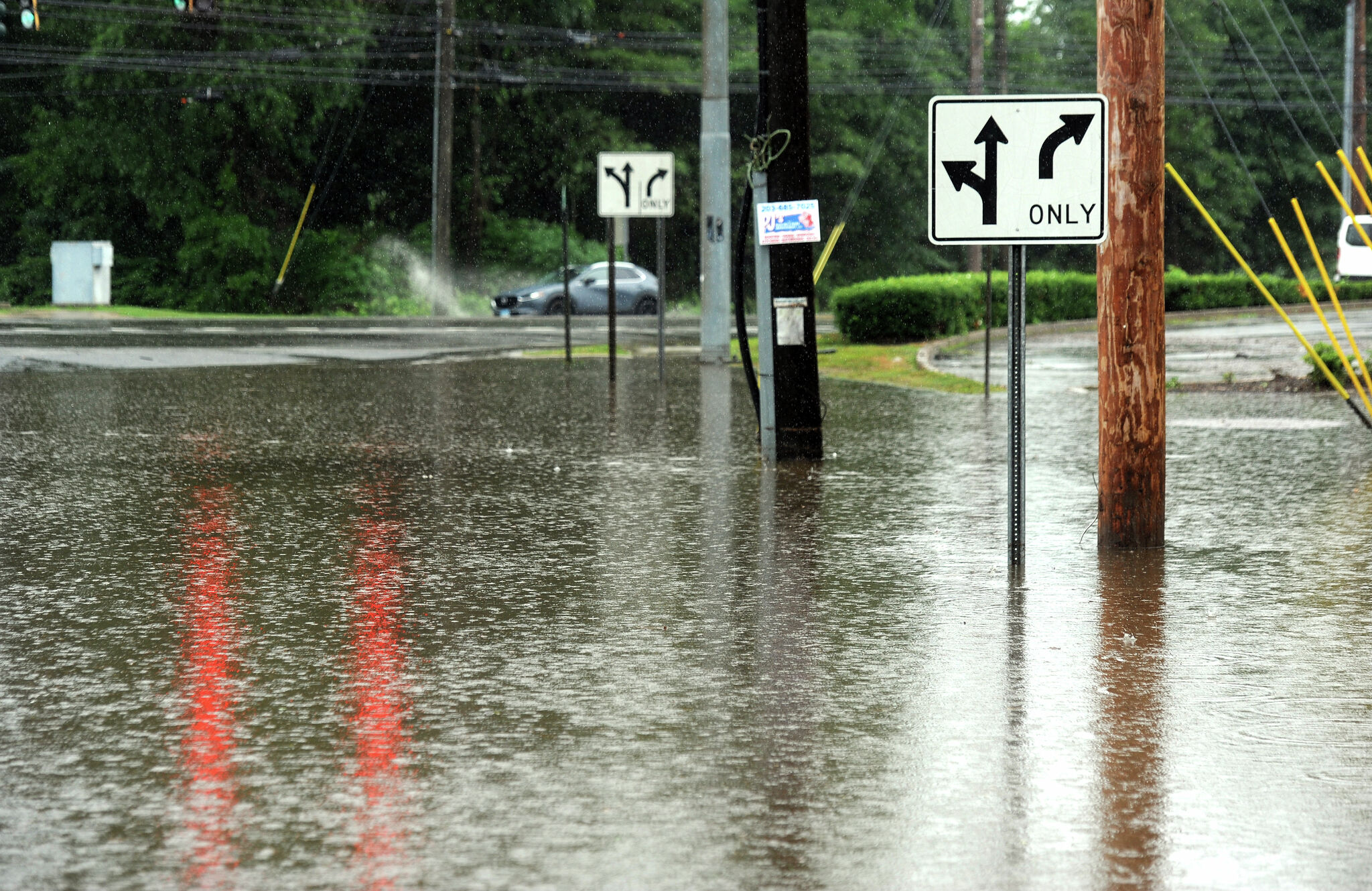
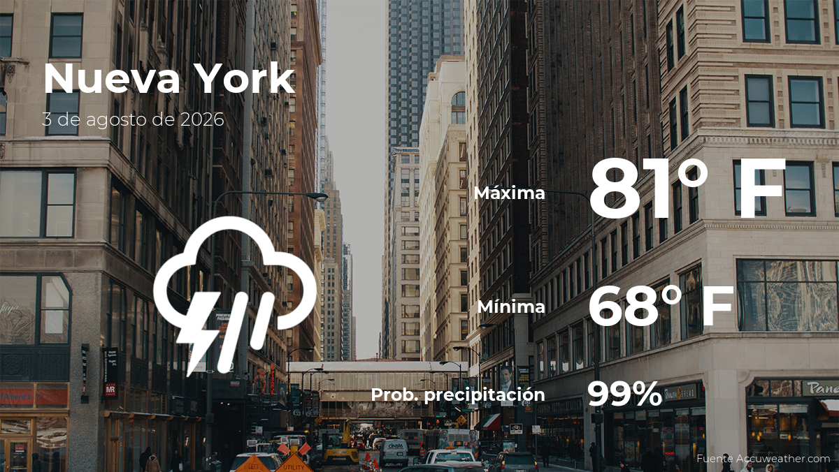
Imagine the sky opening up and dumping buckets of water—that’s exactly what’s happening across parts of Connecticut, New York, and New Jersey. The National Weather Service has issued Flash Flood Warnings because heavy rain is falling fast, and the ground can’t soak it up quickly enough.
The warnings cover a stretch from north-central Fairfield County into southeastern Litchfield County in Connecticut. Specific towns include:
Important Callout:
Flash Flood Warnings are also active for parts of New Jersey and southern New York. If you live in or are traveling through these areas, stay alert!
| Area | Rain Already Recorded | Additional Rain Expected |
|---|---|---|
| North-central Fairfield County | 1–2 inches | 1–2 more inches |
| Southwestern Litchfield County | 1–3.5 inches | 1–2 more inches |
Rainfall rates could exceed 1 inch per hour—that’s like a fire hose pointed at the ground!
Remember: Even after the warning expires, flooding may still be happening. Roads could be washed out or covered in water.
A frontal system (a boundary between two different air masses) is parked over the region. It’s acting like a conveyor belt, pulling in moisture and sparking showers and thunderstorms that will last throughout Monday and into the evening.
The weather service says: “Rainfall will be heavy at times.”
In addition to the warnings, a Flood Watch is in effect for:
What’s the difference?
- Flash Flood Warning = Flooding is happening right now or imminent.
- Flood Watch = Conditions could lead to flooding. Be prepared.
| Day | Forecast |
|---|---|
| Monday | Showers and thunderstorms, heavy rain at times, lasting into the evening |
| Tuesday | High pressure takes over → Dry, pleasant weather! |
| Wednesday–Weekend | Unsettled pattern returns — more chances for rain and storms |
1. What exactly is a flash flood?
A flash flood is a sudden, rapid flooding of low-lying areas—usually within 6 hours of heavy rain. It happens fast, with little warning.
2. Can I still drive if the warning expires soon?
No. Floodwaters can remain on roads for hours. Wait for official “all clear” messages and check road conditions.
3. What’s a frontal system in simple terms?
Think of it like a collision between two air masses—one warm and moist, one cool and dry. Where they meet, clouds and rain form.
4. Why is there a Flood Watch and a Warning?
They cover different areas and risk levels. Warnings mean “act now”; Watches mean “get ready.”
5. Will Tuesday really be nice?
Yes! High pressure builds in, bringing sunshine and dry air—a well-deserved break before more storms midweek.
Stay safe, stay dry, and keep an eye on the sky!