Severe Storms Hit New York and Tri-State Area: What Happened and What to Expect
The Big Picture
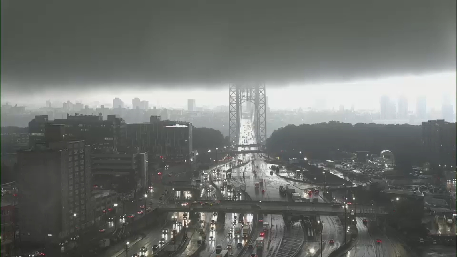
Think of it like this: Mother Nature threw a two-part temper tantrum over the New York area. First came weekend storms, then Tuesday brought an even stronger "encore" with heavy rain, flash floods, powerful winds, and possible tornadoes.
What Happened on Tuesday?
- Multiple rounds of severe storms rolled through the region
- Heavy downpours led to flash flooding in many areas
- Damaging winds knocked down trees and power lines
- Possible tornadoes were spotted in New Jersey
- The National Weather Service (NWS) issued tornado warnings and watches — these have now expired as storms moved offshore
New Jersey Took the Biggest Hit
Two locations in New Jersey saw the most dramatic weather:
1. Stanhope
- A possible tornado was spotted on the ground
- NWS will survey the damage on Wednesday to confirm
2. Parsippany (Morris County)
- A funnel cloud was filmed touching down at a golf center
- Location: About 1 mile north of Troy Hills
- NWS will also survey this site Wednesday
IMPORTANT: A "funnel cloud" becomes a tornado only when it touches the ground. Both locations are being investigated by weather experts.
What’s a Tornado Watch vs. Warning?
| Term |
What It Means |
What to Do |
| Tornado Watch |
Conditions are right for tornadoes to form |
Stay alert, have a plan ready |
| Tornado Warning |
A tornado has been spotted or indicated by radar |
Take shelter immediately! |
What to Expect Wednesday
The NWS has placed NYC and the Tri-State at Marginal Risk (Level 1 out of 5) for severe weather.
Primary Threat: Damaging Winds
- Some afternoon storms possible
- Not expected to be as severe as Tuesday
- Winds strong enough to break branches, knock down weak trees
3 Simple Steps to Stay Safe Wednesday
- Secure loose outdoor items (patio furniture, trash cans, decorations)
- Charge your devices in case of power outages
- Check weather alerts before heading out — especially if driving
How to Stay Informed
- Watch ABC 7 and Eyewitness News for live updates
- Check official NWS alerts: weather.gov
- Enable emergency alerts on your smartphone
- Follow @NWSNewYorkNY on social media for real-time warnings
Summary
- Tuesday brought round two of severe storms to NYC/Tri-State — worse than the weekend
- Flash floods, high winds, and possible tornadoes hit the region
- New Jersey hardest hit — Stanhope and Parsippany under investigation for tornado touchdowns
- Warnings have expired as storms moved out to sea
- Wednesday: Lower risk (1/5) — mainly gusty winds with some afternoon storms
- Stay alert, stay informed, and secure outdoor items
FAQ: Your Questions Answered
What’s the difference between a funnel cloud and a tornado?
A funnel cloud is a rotating column of air that hasn’t touched the ground. Once it makes contact with the ground, it becomes a tornado. Both are dangerous — treat any funnel cloud seriously!
What does "Marginal Risk (1 out of 5)" mean?
It’s the lowest threat level on the Storm Prediction Center’s scale. It means: Isolated severe storms possible, but not widespread. The main concern Wednesday is damaging winds, not tornadoes.
How does the NWS confirm a tornado?
Survey teams visit damage sites and look for specific patterns — like trees fallen in different directions (showing rotation) vs. all one direction (straight-line winds). They also check radar data and witness reports.
Should I be worried about Wednesday’s storms?
Stay aware, not anxious. The risk is low (1/5). Most people will just see some rain and gusty winds. But: secure loose items outside, and have a way to get alerts if you’ll be out and about.
Where can I see the funnel cloud video from Parsippany?
The article mentions it was posted on social media. Check ABC 7’s website or social media accounts — they often share viewer-submitted weather videos during coverage.
Stay safe out there! Weather can change fast — when in doubt, seek shelter and check official sources.
 1
1