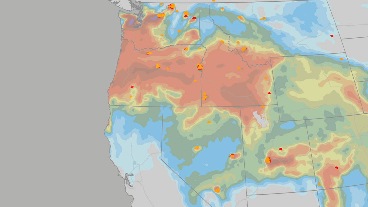
NOAA’s Winter Snow Map: Where Will the Snow Pile Up This Year?
Key Takeaway: NOAA (the National Oceanic and Atmospheric Administration) released a winter snowfall map based on decades of weather patterns. It shows exactly which parts of the U.S. are likely to get more snow than usual and which will get less—and even tells you when to expect it.
States Expected to Gain Extra Snow
These areas are in the "sweet spot" for above-average snowfall this winter:
- California & the Great Basin – The Sierra Nevada mountains are the biggest winner nationwide, with the deepest above-average snow totals.
- The Southwest – Arizona, New Mexico, Utah, and Colorado’s mountains should see a reliable surplus.
- The Southern Plains – Parts of Texas, Oklahoma, and Kansas—where snow is usually rare—could get surprise snow days.
- The Mid-Atlantic – Parts of Virginia, Maryland, and the southern Appalachians (West Virginia, North Carolina) are favored.
States Expected to Lose Snow (Below Average)
These regions typically see less snow during this type of winter pattern:
- Pacific Northwest & Northern Rockies – Washington, Oregon, Idaho, Montana.
- Upper Midwest & Great Lakes – Minnesota, Wisconsin, Michigan, and the lake-effect belt.
But watch out: When Arctic air blows over the warm lakes, lake-effect snow can still bury these areas anytime.
- The Northeast – New York and Pennsylvania lean below average.
Exception: One big coastal storm (a "nor’easter") tracking far enough north can flip the whole season.
Scientists’ Bottom Line: Outside that southern stripe of winners, this pattern "appears to be the great snowfall suppressor over most of North America."
Why This Winter Is Different From the Last Two
| Region |
Last Two Winters |
This Winter |
| Great Lakes & Upper Midwest |
Loaded seasons; Erie, PA got 22.6" in one day (2024 record start) |
Lighter lean—big snow only when Arctic air breaks through |
| Buffalo & Interior Northeast |
Buffalo: 77.6" last winter |
Leaning below average, but every cold outbreak over lakes = snow event |
| Sierra Nevada |
362" at Palisades Tahoe (2024–25), saved by a 100" March |
Deepest surplus zone—storm track aimed straight at it |
| Colorado, Utah, Four Corners |
Steady mountain seasons; big late-March storm |
Reliable surplus, wet pattern holds into spring |
| Texas Panhandle & Southern Plains |
Barely a flake most of the time |
Rare snow days become live possibilities |
| Mid-Atlantic & D.C. |
Long snow droughts with occasional saves |
Juiced-up coastal storms—2 to 3 big ones typical for this pattern |
When Each Region’s "Snow Window" Opens
Think of winter as a play with four acts. Different regions get their snow at different times.
1⃣ December – The Quiet Opening Act
- Snow belongs to high elevation only.
- Sierra Nevada, Colorado, Utah mountains start stacking up.
2⃣ January – The Storm Track Hits Full Strength
- New Mexico, Arizona, Southern Plains join in.
- Sharp cold fronts drop temps dozens of degrees in hours, driving blowing snow across the High Plains.
- First coastal storms crawl up the Mid-Atlantic coast.
3⃣ February – The Peak
- Virginia, Maryland, West Virginia, Carolinas’ high country get their best odds.
- Coastal storms get "juiced up" by tropical moisture (extra fuel from the south).
- 2–3 big snowstorms are the norm—enough to flip the year for D.C. and Baltimore.
4⃣ March & Beyond – The Late Window Is Real
- Moisture keeps flowing across the southern tier into spring.
- Last year proved it: March storms buried Colorado’s mountains; passes in the northern Rockies stayed closed into May.
- Forecasters see swings between warm and cold stretches, with the stronger half of the season arriving late.
How to Read This Map (Beginner’s Guide)
- It’s a "first look," not a day-by-day forecast.
Think of it like a seasonal trailer—it shows the pattern, not the exact dates.
- Green/blue = more snow than average. Brown/tan = less.
The map is built from decades of similar winters (analog years).
- Single storms make their own decisions.
Even in a "below average" zone, one perfect storm can bury you.
- Elevation is everything.
Mountains win. Valleys often miss out.
- Watch the "wet lean" across the South & East.
Where that moisture hits cold air or high ground → snow.
Summary
- Biggest winners: Sierra Nevada, Southwest mountains, Southern Plains (rare snow!), Mid-Atlantic.
- Biggest losers: Pacific Northwest, Northern Rockies, Upper Midwest, Great Lakes, Northeast—but lake-effect and nor’easters can still strike.
- This winter ≠ last two: The Great Lakes/Upper Midwest go from "buried" to "lighter," while the Southwest/Sierra go from "good" to great.
- Timing matters: December = high peaks only. January = Southwest & Plains. February = Mid-Atlantic peak. March+ = spring surprise window.
- One map, one pattern, many outcomes. Use it to prep early, not to cancel your ski trip.
FAQ
Q: What is NOAA?
A: The National Oceanic and Atmospheric Administration—the U.S. government agency that studies weather, oceans, and climate. They make the official forecasts.
Q: Why does the map show "above/below average" instead of inches?
A: Because it’s based on historical patterns, not a specific storm. It says "this pattern usually brings more/less snow than normal"—not "Denver gets 60 inches."
Q: What is "lake-effect snow"?
A: When cold Arctic air blows over relatively warm Great Lakes water, it picks up moisture and dumps it as heavy, narrow bands of snow downwind. It can happen even in a "below average" winter.
Q: What’s a "nor’easter"?
A: A powerful coastal storm that moves up the East Coast with winds from the northeast. If it tracks just right, it can bury D.C., Philly, NYC, and Boston—even in a "low snow" winter.
Q: Should I believe this 100%?
A: No forecast is perfect. This is a probabilistic outlook based on a La Niña-like pattern. It’s the best early guide we have—great for planning, not for betting the farm.
 1
1.jpg?w=1120&h=630 "Diggs-Commanders Contract Bombshell Drops Amid Aiyuk Frenzy")